
Ho Chi Minh Trail
The Ho Chi Minh Trail (Vietnamese: Đường mòn Hồ Chí Minh), also called Annamite Range Trail (Vietnamese: Đường Trường Sơn) was a logistical network of roads and trails that ran from North Vietnam to South Vietnam through the kingdoms of Laos and Cambodia. The system provided support, in the form of manpower and materiel, to the Viet Cong (or “VC”) and the People’s Army of Vietnam (PAVN), during the Vietnam War.

It was named by the U.S. after the North Vietnamese president Hồ Chí Minh. Presumably the origin of the name came from the First Indochina War, when there was a Viet Minh maritime logistics line called the “Route of Ho Chi Minh” and shortly after late 1960, as the present trail developed, Agence France-Presse (AFP) announced that a north–south trail had opened, and they named the corridor La Piste de Hồ Chí Minh, the ‘Hồ Chí Minh Trail’.The trail ran mostly in Laos, and was called by the communists, the Trường Sơn Strategic Supply Route (Đường Trường Sơn), after the Vietnamese name for the Annamite Range mountains in central Vietnam.They further identified the trail as either West Trường Sơn (Laos) or East Trường Sơn (Vietnam). According to the U.S. National Security Agency’s official history of the war, the trail system was “one of the great achievements of military engineering of the 20th century”. The trail was able to effectively supply troops fighting in the south, an unparalleled military feat, given it was the site of the single most intense air interdiction campaign in history.
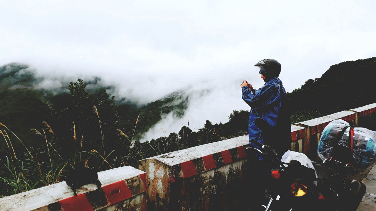
Parts of what became the trail had existed for centuries as primitive footpaths that enabled trade. The area through which the system meandered was among the most challenging in Southeast Asia: a sparsely populated region of rugged mountains 500–2,400 metres (1,500–8,000 ft) in elevation, triple-canopy jungle and dense tropical rainforests. Pre-First Indochina War, the routes were known as the “Southward March”, “Eastward March”, “Westward March”, and “Northward March” During the First Indochina War the Việt Minh maintained north–south communications and logistics by expanding on this system of trails and paths, and called the routes the “Trans-West Supply Line” (running in south Vietnam, Cambodia, and Thailand) and the “Trans-Indochina Link” (running in north Vietnam, Laos, and Thailand)
In the early days of the Ho Chi Minh Trail, bicycles were often used to transport arms and equipment from North to South Vietnam.
In May 1958 PAVN and Pathet Lao forces seized the transportation hub at Tchepone, on Laotian Route 9 Laotian elections in May brought a right-wing government to power in Laos, increasing dependence on U.S. military and economic aid and an increasingly antagonistic attitude toward North Vietnam.
PAVN forces, alongside the Pathet Lao, invaded Laos on 28 July 1959, with fighting all along the border with North Vietnam against the Royal Lao Army. In September 1959, Hanoi established the 559th Transportation Group, headquartered at Na Kai, Houaphan province in northeast Laos close to the border. It was under the command of Colonel (later General) Võ Bẩm and established to improve and maintain a transportation system to supply the VC insurgency against the South Vietnamese government. Initially, the North Vietnamese effort concentrated on infiltration across and immediately below the Vietnamese Demilitarized Zone (DMZ) that separated the two Vietnams. The 559th Group “flipped” its line of communications to the west side of the Trường Sơn mountains.
By 1959, the 559th had 6,000 personnel in two regiments alone, the 70th and 71st, not including combat troops in security roles or North Vietnamese and Laotian civilian laborers. In the early days of the conflict the trail was used strictly for the infiltration of manpower. At the time, Hanoi could supply its southern allies much more efficiently by sea. In 1959 the North Vietnamese created Transportation Group 759, which was equipped with 20 steel-hulled vessels to carry out such infiltration.
After the initiation of U.S. naval interdiction efforts in coastal waters, known as Operation Market Time, the trail had to do double duty. Materiel sent from the north was stored in caches in the border regions that were soon retitled “Base Areas” (BA), which, in turn, became sanctuaries for VC and PAVN forces seeking respite and resupply after conducting operations in South Vietnam.
There were five large base areas in the panhandle of Laos. BA 604 was the main logistical center during the war. From there, the coordination and distribution of men and supplies into South Vietnam’s Military Region (MR) I and BAs further south was accomplished.
• BA 611 facilitated transport from BA 604 to BA 609. Supply convoys moved in both directions. It also fed fuel and ammunition to BA 607 and on into South Vietnam’s A Shau Valley.
• BA 612 was used for support of the B-3 Front in the Central Highlands of South Vietnam.
• BA 614, between Savannakh
Laos and Kham Duc, South Vietnam was used primarily for moving men and materiel into MR 2 and to the B-3 Front.
• BA 609 was important due to a fine road network that made it possible to transport supplies during the rainy season.
Human labour, pushing heavily laden bicycles, driving oxcarts, or acting as human pack animals, moving hundreds of tonnes of supplies in this fashion was quickly supplanted by truck transport—using Soviet, Chinese, or Eastern Bloc models—which quickly became the chief means of moving supplies and troops. As early as December 1961, the 3rd Truck Transportation Group of PAVN’s General Rear Services Department had become the first motor transport unit fielded by North Vietnamese to work the trail and the use of motor transport escalated.
Two types of units served under the 559th Group: “Binh Trams” (BT) and commo-liaison units. A “Binh Tram” was the equivalent of a regimental logistical headquarters and was responsible for securing a particular section of the network. While separate units were tasked with security, engineering, and communications functions, a “Binh Tram” provided the logistical necessities. Usually located one day’s march from one another, communication-liaison units were responsible for providing food, housing, medical care and guides to the next way-station. By April 1965, command of the 559th Group devolved upon General Phan Trọng Tuệ, who assumed command of 24,000 men in six truck transportation battalions, two bicycle transportation battalions, a boat transportation battalion, eight engineer battalions, and 45 commo-liaison stations. The motto of the 559th became “Build roads to advance, fight the enemy to travel.”
There were nine Binh Trams between the dry season of 1967 to August 1968. An example is Binh Tram
They took responsibility from the Mu Gia Pass to Lum Bum (Route 128) and all the roads from Route 12 to Kontum, Route 129 from Ca Vat to Na Phi Lang. Within this BT there were: 25th and 27th Engineer Battalions; 101st and 53rd Truck Transport Battalions; 14th AAA Battalion; two infantry companies; 8th Guide Battalion (soldiers to take troops and trucks from one station to the next); three stores companies; a communications company; a medical care unit; three teams of surgeons; a quarantine unit; and a workshop to repair trucks.
The system developed into an intricate maze of 5.5-metre-wide (18 ft) dirt roads (paved with gravel and corduroyed in some areas), foot and bicycle paths and truck parks. There were numerous supply bunkers, storage areas, barracks, hospitals, and command and control facilities, all concealed from aerial observation by an intricate system of natural and man-made camouflage that was constantly improved. By 1973, trucks could drive the entire length of the trail without emerging from the canopy except to ford streams or cross them on crude bridges built beneath the water’s surface.
The weather in southeastern Laos came to play a large role both in the supply effort and in U.S. and South Vietnamese efforts to interdict it. The southwest monsoon (commonly called the rainy season) from mid-May to mid-September, brought heavy precipitation (70% of 3,800 mm (150 in) per year). The sky was usually overcast with high temperatures. The northwest monsoon (the dry season), from mid-October to mid-March was relatively dry with lower temperatures. Since the road network in the trail system was generally dirt, the bulk of supply transport, and the military efforts that they supported, were conducted during the dry season. Eventually, the bulk of the trail was either asphalted or hard packed, thus allowing large quantities of supplies to be moved even during the rainy season.
Hải Vân pass
The Hải Vân pass is an approximately 21 km long mountain pass on National Route 1 in Vietnam. It traverses a spur of the larger Annamite Range that juts into the East Sea of Viet Nam, on the border of Đà Nẵng and Thừa Thiên–Huế Province, near Bạch Mã National Park. Its name refers to the mists that rise from the sea, reducing visibility. Historically, the pass was a physical division between the kingdoms of Champa and Đại Việt. It is nowadays also used as a signifier of the climates of northern Vietnam vs southern areas, where northern regions receives 4 seasons (summer, winter, autumn, spring) whilst southern areas receives just 2 seasons (rainy and dry).

The twisting road on the pass has long been a challenge for drivers traveling between the cities of Huế and Đà Nẵng. Since the completion of Hải Vân Tunnel, traffic flow and safety have improved. The pass has been the scene of at least two of Vietnam’s most serious rail accidents, and at least one air crash.
The Hải Vân Pass crosses over a spur of the Trường Sơn (Annamite) Range that emerges from the west and juts into the South China Sea, forming the Hải Vân Peninsula and the adjoining Son Tra Island. The pass, which once formed the boundary between the kingdoms of Đại Việt and Champa in
1306, also forms a boundary between the climates of northern and southern Vietnam, sheltering the city of Da Nang from the “Chinese winds” that blow in from the northwest. During the winter months (November–March), for instance, weather on the north side of the pass might be wet and cold, while the south side might be warm and dry.
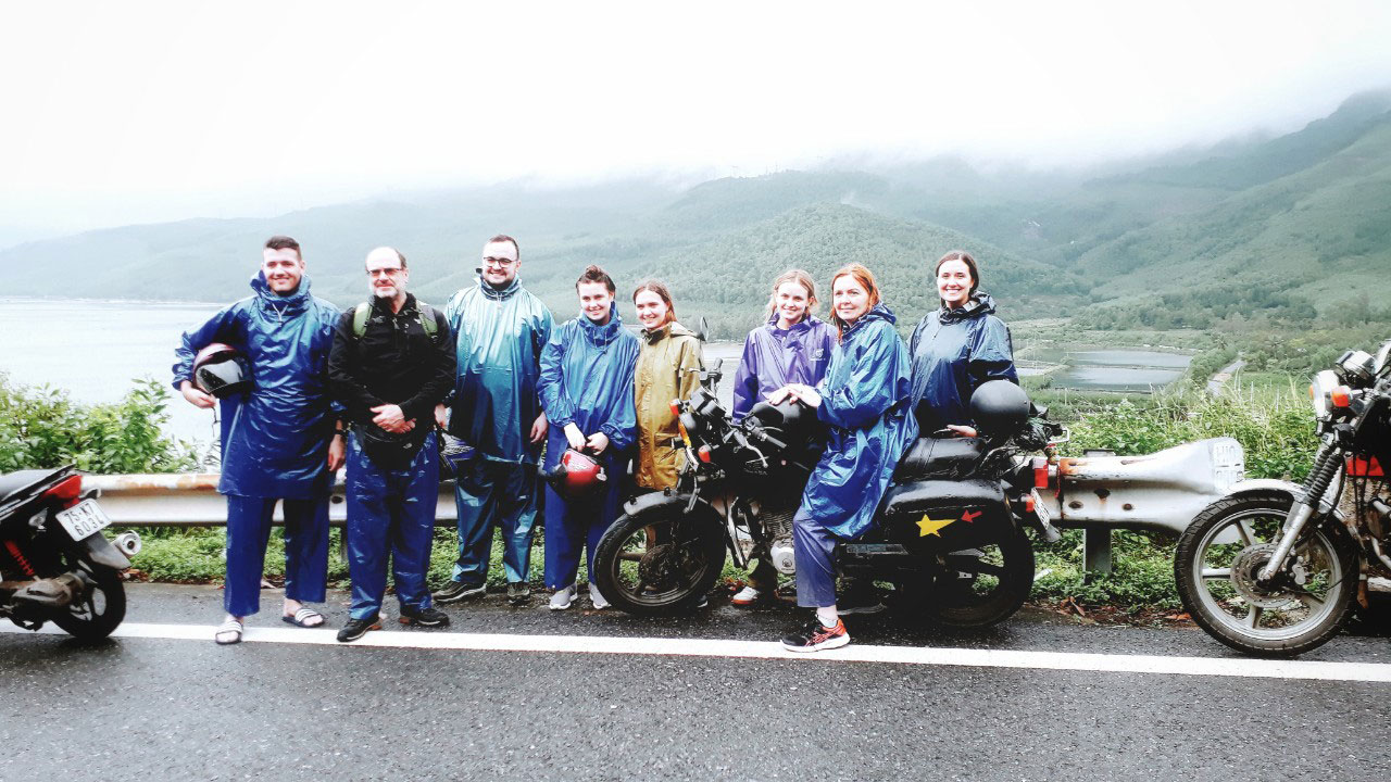
The pass is renowned for its scenic beauty. Presenter Jeremy Clarkson, then host of the BBC motoring programme Top Gear, featured the pass during the show’s 2008 Vietnam Special, calling the road “a deserted ribbon of perfection—one of the best coast roads in the world.”
Hải Vân Pass has been of major strategic importance in this history of Vietnam, and for a long time represented a major barrier to any land army that attempted to move between the northern and central regions of the country.
During the 1st century A.D., the Chinese general Ma Yuan (Mã Viện), after pacifying northern Vietnam, advanced south and established the southern border of the Han (Hán) empire by setting up columns of bronze, possibly at Hải Vân. Ma Yuan also left behind some Chinese military families to hold the frontier. When the Han empire collapsed at the end of the 2nd century, the local kingdom of Linyi (Lâm Ấp), the predecessor to the medieval polity of Champa, was created by a petty frontier bureaucrat of the Han administration, probably in the area of modern Huế somewhat to the north.
The pass is crossed by two main transport routes: Vietnam’s main north–south highway, National Route 1, and the North–South Railway. The road uses the Hải Vân Tunnel—the longest tunnel in Southeast Asia—while the railway hugs the coastline, passing through a series of tunnels along the way.
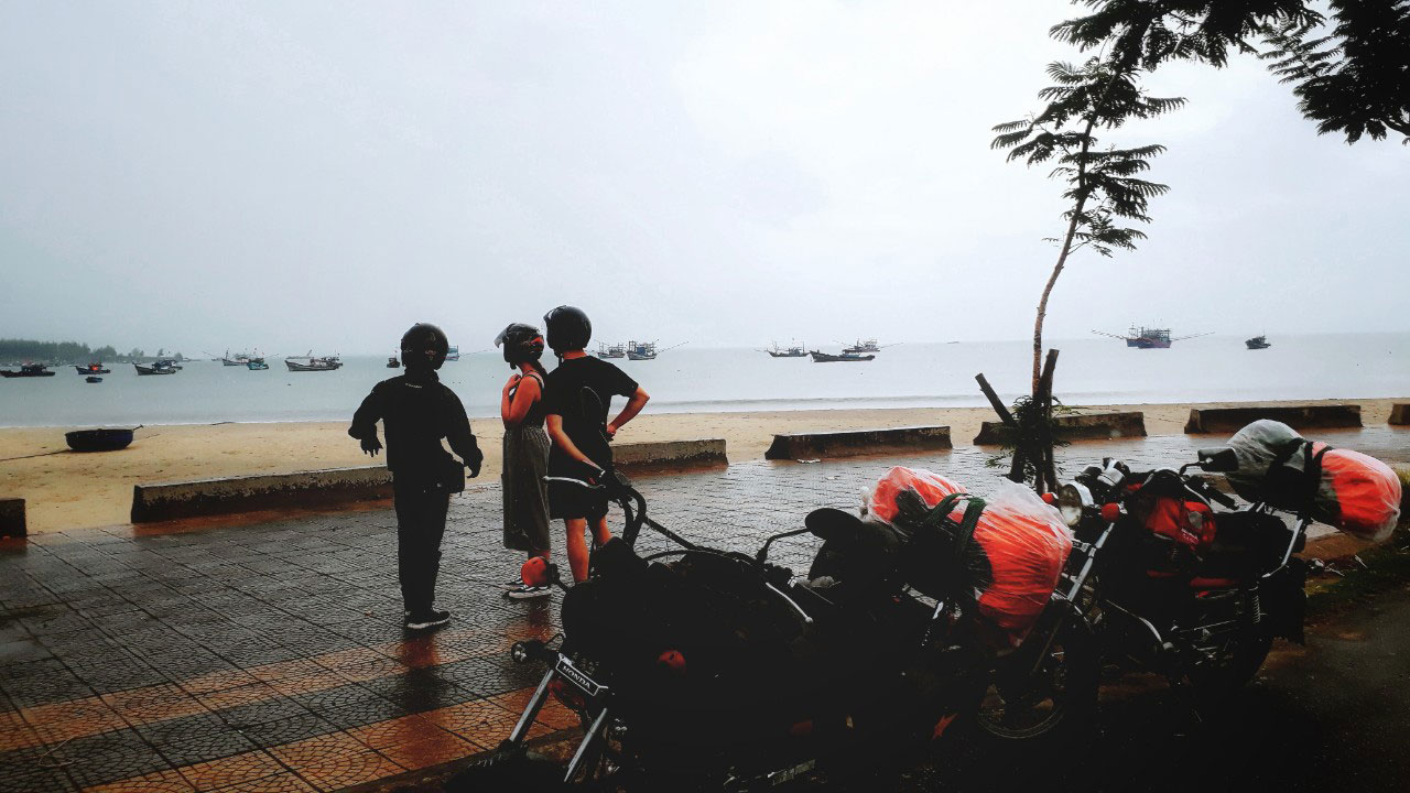
The old National Route 1 crosses over the mountain more or less directly, climbing to an elevation of 496 m (1,627 ft) and passing south of the 1,172 m (3,845 ft) high Ai Van Son peak. Travel time on it can be up to an hour longer. In Top Gear series 12’s Vietnam Special, Jeremy Clarkson called this route “one of the best coast roads in the world.”
Besides its beauty, the pass is also renowned for its difficulty. A poem by Nguyễn Phúc Chu (1675–1725) describes Hải Vân as “the most dangerous mountain in Vietnam” (Vietnamese: Việt Nam hiểm ải thử sơn điên). Visibility on the pass is often reduced by the eponymous mists that rise from the sea. Along with the road’s winding route through the pass, this posed a serious challenge for drivers before the construction of the Hải Vân Tunnel. The Hai Van Pass has also been the scene of at least two of Vietnam’s most serious rail accidents, and at least one air crash.
• 24 June 1953 – 1953 Col des Nuages derailment: “About 100 or more” were killed when two locomotives and 18 cars of a passenger train plunged 50 feet through a sabotaged viaduct in the Col des Nuages, now known as the Hai Van Pass. Officials said that a strong explosive charge went off just as the train arrived at the viaduct, tumbling a 25-foot span into the ravine. The pass had frequently been the scene of attacks by the Viet Minh.
• 28 December 1969 – a United States Marine Corps CH-46 helicopter #153379 from Marine Medium Helicopter Squadron 364, crashed in Hai Van pass. The aircraft had experienced radio problems while flying at night in instrument conditions. All 10 crew and passengers were killed in the crash. A portion of the tail pylon, showing the squadron emblem is on display at the National Museum of the Marine Corps.
• 12 March 2005 – 2005 Phú Lộc derailment: An express passenger train on the North–South Railway derailed north of the Pass, in Phú Lộc District, Thừa Thiên–Huế Province, killing 11 people and injuring hundreds, many seriously. The accident occurred while the train was travelling southbound from Hanoi to Ho Chi Minh City.