
255$/person
**include: luggage transport, motorbike, gasoline, helmet, local English speaking guide, bottled water, raincoat, registration fees, meals
**exclude: personal expenses, alcoholic beverage
Highlights:
Day1: Hue – DMZ – Khe Sanh (~150km)
• Tam Giang lagoon
• Cua Viet beach
• Vinh Moc tunnel
• Hien Luong bridge
• Truong Son National Martyrs Cemetery
• ĐaKrong brigde
• Khe Sanh combat base
Day 2: Khe Sanh – Prao (~210km)
• Ho Chi Minh trail
Day 3: Prao – Hoi An (~155km)
• Cotu ethnic group
• Ho Chi Minh trail
• My Son sanctuary/Hai Van pass
• Hoi An countryside
BOOKING NOW
Destinations
☆ Ho Chi Minh trail
Known within Vietnam as the “Truong Son Strategic Supply Route,” was an elaborate system of mountain and jungle trails linking North Vietnam to its allies in the South Vietnam, Cambodia, and Laos. During the Vietnam War, it served as the primary artery for moving troops, vehicles, and supplies. Comprising more than twelve thousand miles of roads and paths through some of the world’s harshest geography, it was a vital gateway linking a divided nation.
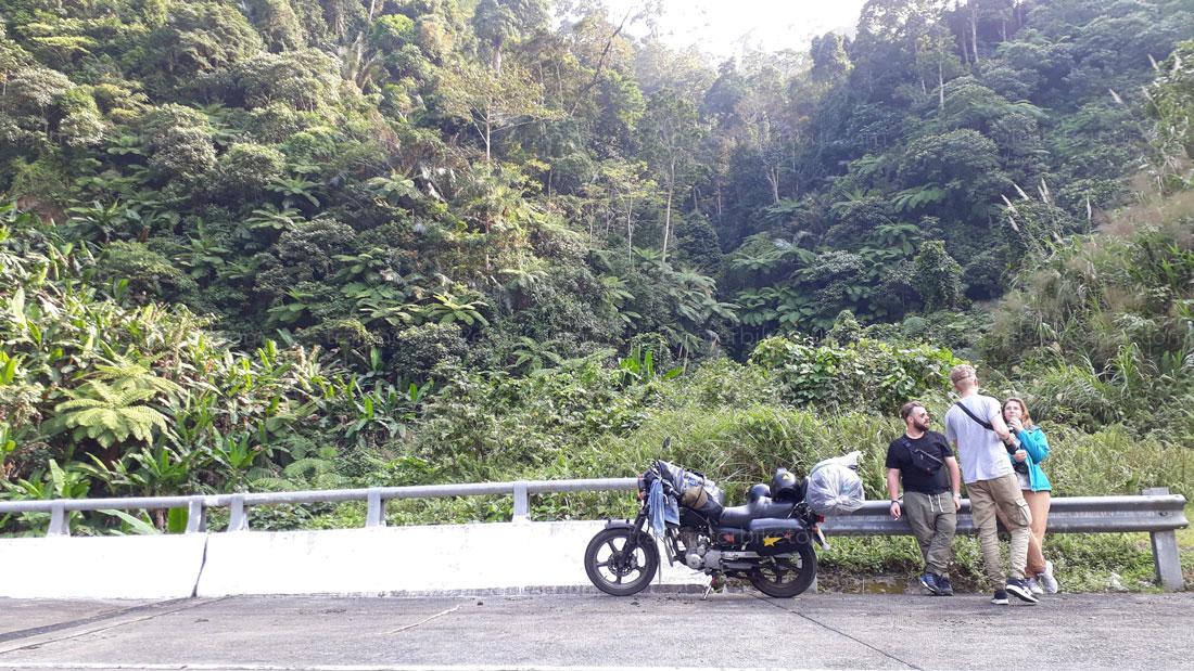 The road network extended from Mu Gia Pass in the north, southward along the heavily forested western slopes of Laos, before entering South Vietnam at the north-western end of the Plei Trap Valley — the “Valley of Tears” — and points south. It was kept in good condition by 300,000 full-time workers and almost as many part-time farmers, many of whose bodies fill the 72 Vietnamese military cemeteries that testify to the trail’s devastating human toll.
The trail’s history as a line of communication dates back to World War II, when Viet Minh bands trekked the same paths. During the war against the United States, the existing footpaths developed into a highly organized infiltration route for men and supplies. Although the North Vietnamese made limited use of waterways and pipelines, this labyrinth of roads and trails remained throughout the war the heart of their logistic system. As military historian John Prado’s has pointed out, whereas supplies, ammunition, and weapons could be sent South by boat, “only overland was it possible for men and women to head South and join in combat.”
Despite Hanoi’s attempts to keep the details of its overland infiltration network a secret, by 1960, US knowledge of the route was widespread enough that it became a subject of intelligence predictions. An August 23, 1960 CIA report noted increases in support from the North of the Southern insurgency, citing heightened movement of senior cadres and military supplies such as communications equipment heading south through Laos and Cambodia. Before the year’s end, American military planners were advising the Diem government that it had to gain “firmer control of its frontiers,” to prevent further infiltration by the Viet Cong into South Vietnam.
A September 1966 intelligence study estimated that during the October-November 1965 period, the Ho Chi Minh trail had been disgorging 4500 enemy troops per month and 300 tons of supplies per day. Road watch reports and photo reconnaissance verified increased North Vietnamese build up along the lines of communication from the North into Laos and South Vietnam, revealing new unnumbered roads under construction in the Laotian Panhandle, heading southward.
☆ Tam Giang Lagoon (Fishing village) is located at the merge of three big rivers including O Lau, Huong and Bo Rivers. It belongs to Tam Giang – Cau Hai, which is the largest freshwater lagoon system in Hue. The region directly or indirectly provides the sufficient living conditions to about 300,000 inhabitants of 326 villages in 31 communes around. Recognized as the richest source of flora and fauna in Southeast Asia, Tam Giang Lagoon in ancient Hue is an amazing place that is rarely discovered by tourists. It is also beautiful at sunset when golden water is sparkling in along with a maze shrimp farming fields of all shapes and sizes that all fascinate travellers.
☆ Vinh Moc tunnel
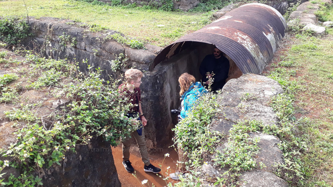
Vinh Moc Tunnel (Địa đạo Vịnh Mốc) – an underground miniaturized village – is the largest historical tunnel in the DMZ of Vietnam.
Deep beneath the dark earth, hidden from screeching bombers and harbouring desperate soldiers, the people of Vinh Linh, Quang Tri lived for many years in the now famous Vinh Moc Tunnel. They survived, and even prospered in their makeshift underground community. During that time, 17 children were born in the tunnels, each of whose lives is a testament to just how perfect the complex network of caves and warrens were at protecting those forces within. As time goes by, it has become both a historical evidence and a tourist destination for discovering a heroic period of Vietnam’s history.
 ☆ Hien Luong bridge
Hien Luong Bridge and the Ben Hai River in central Quang Tri province forever symbolizes an enduring symbol of the everlasting desire for peace, national independence and reunification. The Geneva Agreements on Vietnam signed in 1954 divided Vietnam into North and South with the 17th Parallel where the Ben Hai River runs through the central province of Quang Tri as a borderline. The temporary division was only expected to last two years, but it then remained for 21 years along with the great struggle for national reunification. Throughout this prolonged period, the Hien Luong bridge in Vinh Thanh village in Vinh Linh district of Quang Tri province symbolized the division, expectations and the pain of loss and separation.The bridge represents the desire for national reunification. The soldiers and people of Quang Tri have been side by side with soldiers and people nationwide demonstrate their ingenuity, bravery, and great loyalty for the nation to win the prolonged struggle, creating glorious pages in the history. Hien Luong bridge is also the witness of victory, that led to the national reunification in Spring 1975.Hien Luong Brigde was a political, diplomatic and military front. War ended long time ago and Hien Luong Bridge stood the test of time to remind people about the country’s tragic but ultimately victorious past.
☆ Truong Son National Martyrs Cemetery
A deeply evocative memorial to the legions of North Vietnamese soldiers who died along the Ho Chi Minh Trail, this cemetery is a sobering sight. More than 10,000 graves dot these hillsides, each marked by a simple white tombstone headed by the inscription liet si (martyr). Many graves lie empty, simply bearing names, representing a fraction of Vietnam’s 300,000 soldiers missing in action.
☆ Khe Sanh combat base
During Vietnam War, it has been known as a fierce battlefield that has marked numerous glorious victories of our Vietnamese army. Khe Sanh Base is in a red-soil valley located 400 meters above sea level. At the beginning of the Vietnam War, the US Military found out the important position of base de Khe Sanh. It is situated on No.9 Road – a strategic road in the north of South Vietnam. This road has led to both Laos and the legendary Ho Chi Minh Trail. In 1965-1966, the US Military and South Vietnam Government constructed Khe Sanh as the largest stronghold on the No.9 Road. It is one of three important bases of the McNamara electronic fence (Khe Sanh, Lang Vay, and Ta Con). They were aimed to prevent Vietnam People’s Army from assisting their army in South Vietnam as well as to separate the Ho Chi Minh Trail.
☆ Cotu ethnic groups
Like the majority of people living in Truong Son range – Tay Nguyen highland, the Co Tu applies nomadic farming; mainly raises (buffalo, pig, goat, chicken, etc.) freely apart from a few families having farm. Of all, hunting, collecting and traditional craft (knitting, pottery, textile, etc.) still play an important role in their daily life.
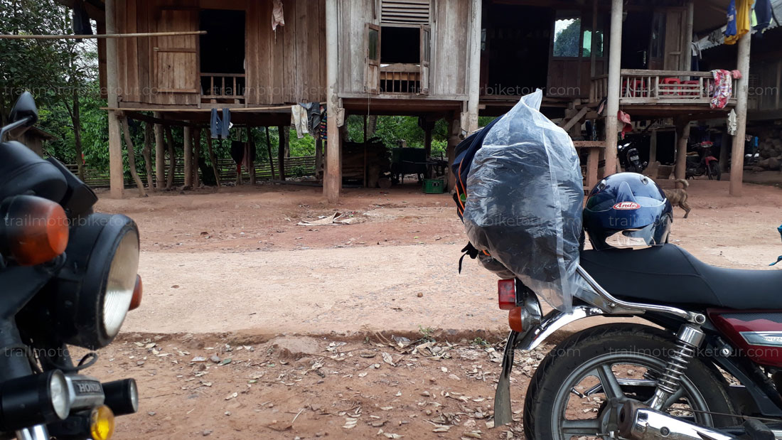 Co Tu villages are not only a residential but also a self-managing unit in traditional society. Head of the village is appointed by village patriarch council and called as ta ko vel. In addition to village headman, military commander is in charge of practicing, commanding and organizing “headhunting” practice. Despite rich-poor gap, there is no class division in Co Tu society. Each village has a separated area to live, grow, breed, hunt and collect forestry products. Villages are located in pretty high and flat terrain near water source. Houses are arranged in oval or circular shape as defensive village. Each village has a yard in which stands a pillar in the middle for buffalo sacrifice ceremony, a common house – Guol (stilt house) which is constructed in respectful position and decorated with various wooden plants, etc. It is in Guol house that headman receives important guests, holds meetings and stores precious treasures. Although some villages no longer follow traditional house model, traditional house-related rules are still widely applied. The Co Tu live in round roof stilt houses which are designed pretty short and small. At the middle of the house stands a main pillar.
Similar to Vietnamese parentage, the Co Tu have capu or to. People in the same capu share the same identification signs and a certain legend or taboo. Ta ko capu (chief of cabu) is in charge of settling conflicts arose in capu or between capu and the village.
Co Tu men usually wear a loin cloth while women wear short dress. Both male and women have hair bun pinned by pig tooth, hedgehog fur or sharp bamboo sticks. In some areas, the Co Tu have their forehead hair cut short and tattoo drawn on their body or face. In some other areas, youth have teeth sawing practice and buffalo sacrifice ceremony organized when they grows up. Co Tu women love jelwery such as bracelet, earrings, and necklace, etc.
Regards to marriage, Co Tu follow one wife-one husband marriage. However, primitive marriage still exists. Patriarchy remains pretty strong among Co Tu people. It is male that enjoys house owner status, has power and inherit prosperity.
“All things have their own souls” belief and taboos still strictly applied in daily life and manufacture. The Co Tu have Totemism-related rituals. Besides, Co Tu still worship destiny, healing magic and festivals. Buffalo sacrifice ceremony derived from ancient crop praying ceremony. This ceremony is organized in family, parentage and community. In addition, the Co Tu have a unique folk art treasure including songs, dances, poems, stories passed down from generation to generation; traditional sculpture and decoration art shown through meticulous paintings and carvings in Guol houses, naked statues hung in village gate or human emotion statues around tombs, etc.
☆ My Son Sanctuary
During the 4th to 13th centuries there was a unique culture on the coast of contemporary Vietnam, owing its spiritual origins to the Hinduism of India. This is graphically illustrated by the remains of a series of impressive tower temples in a dramatic site that was the religious and political capital of the Champ Kingdom for most of its existence.
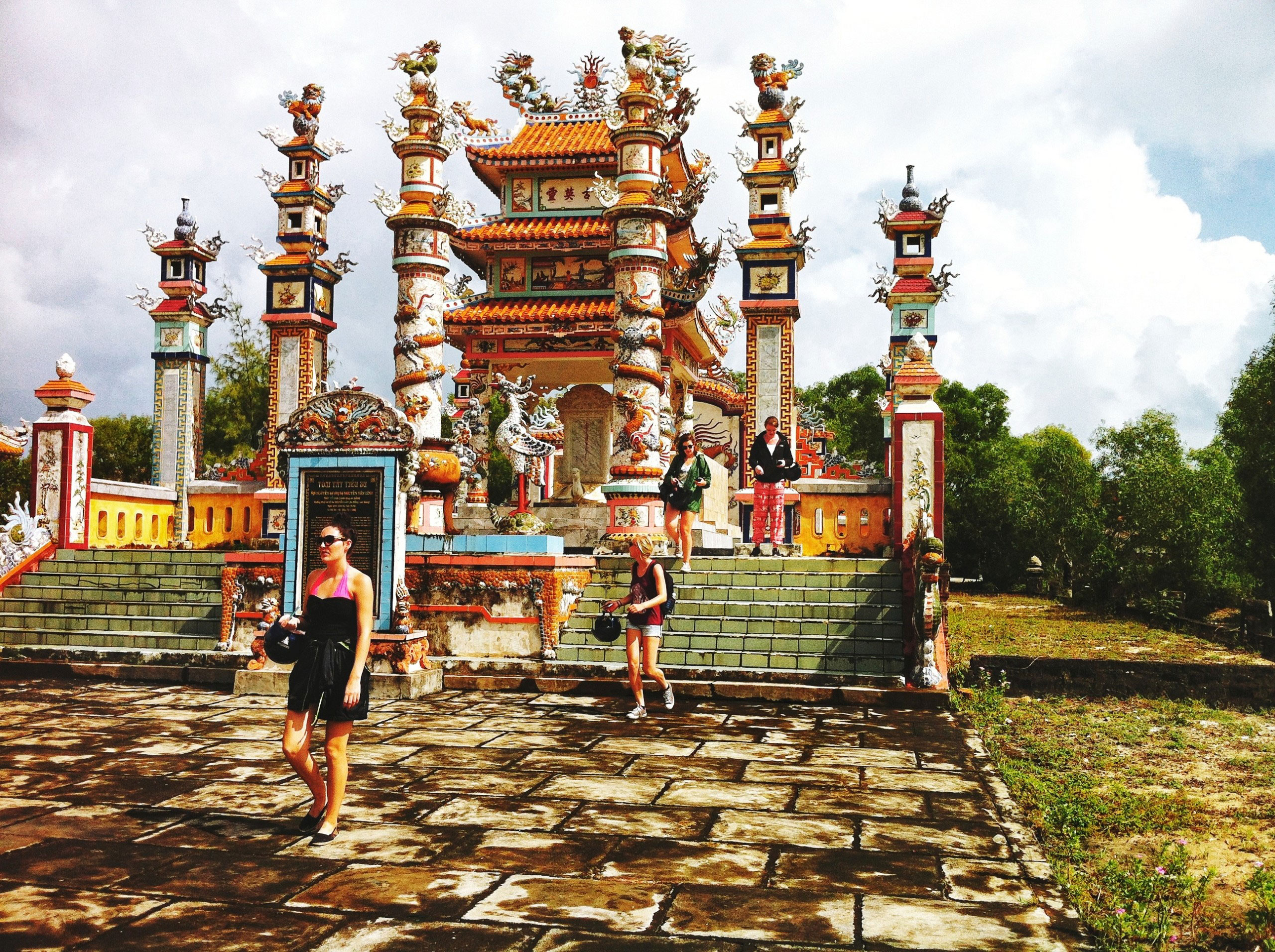
My Son Sanctuary dates from the 4th to the 13th centuries CE. The property is located in the mountainous border Duy Xuyen District of Quang Nam Province, in central Viet Nam. It is situated within an elevated geological basin surrounded by a ring of mountains, which provides the watershed for the sacred Thu Bon river. The source of the Thu Bon river is here and it flows past the monuments, out of the basin, and through the historic heartland of the Champa Kingdom, draining into the South China Sea at its mouth near the ancient port city of Hoi An. The location gives the sites its strategic significance as it is also easily defensible.
☆ Hai Van pass:
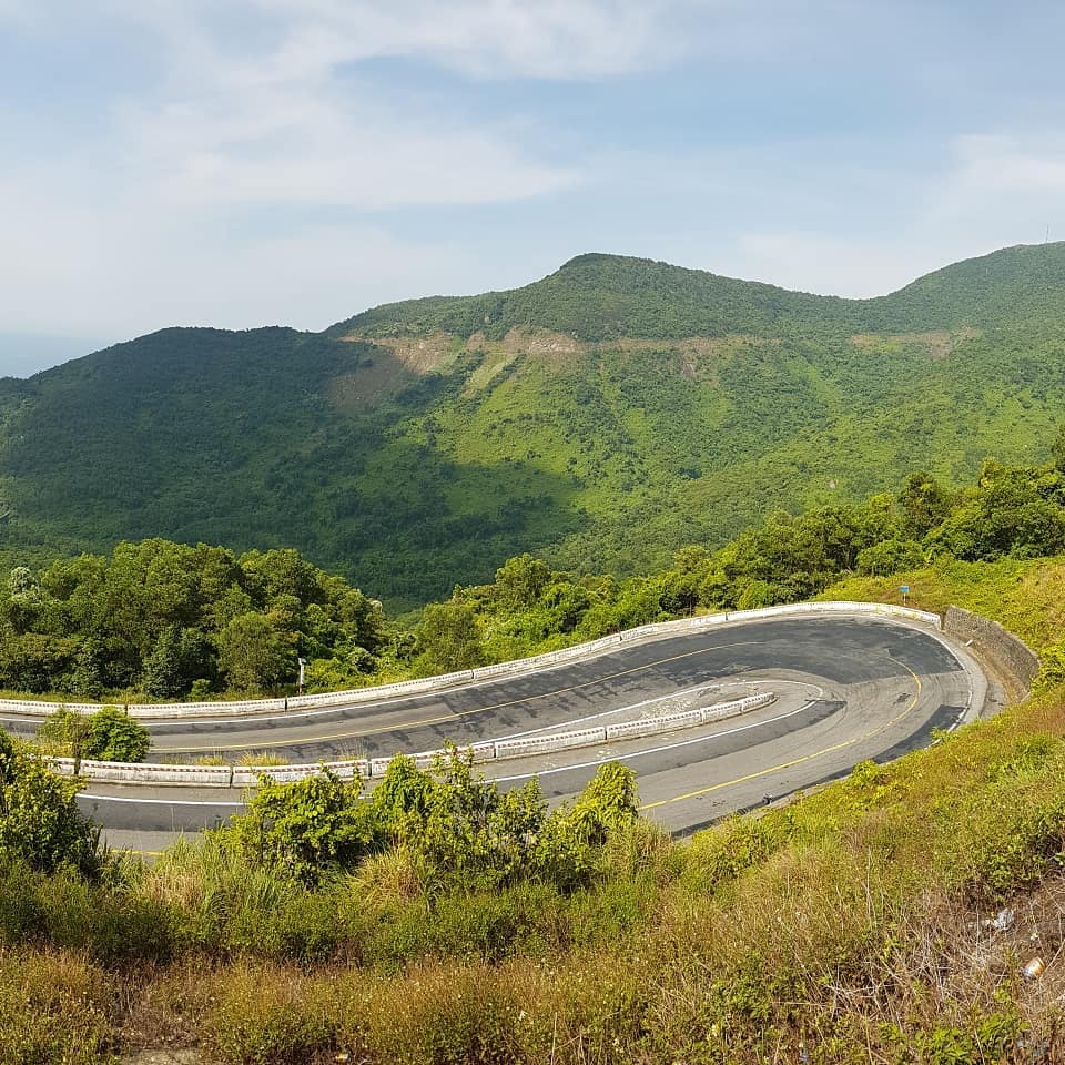
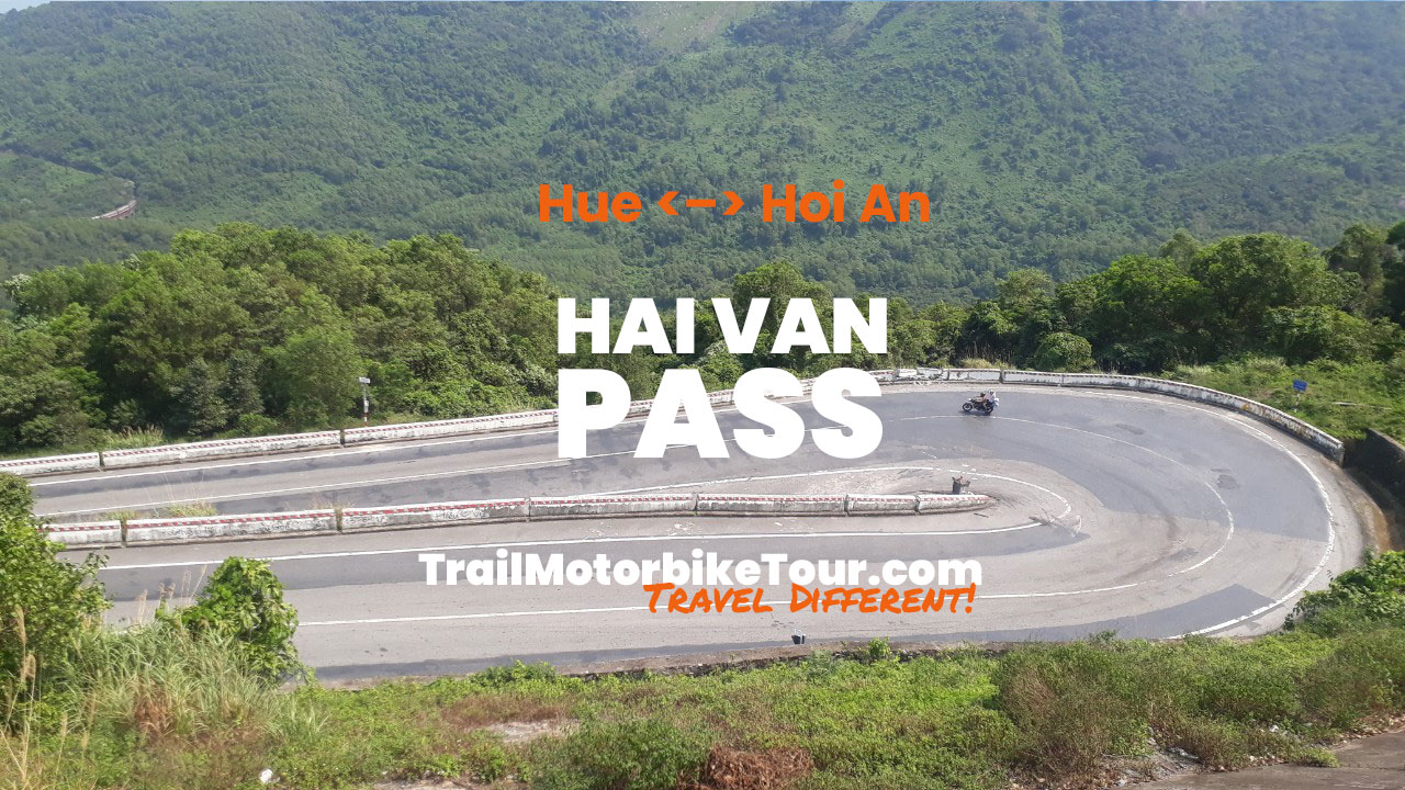
A contender for the most famous road in Vietnam, the Hai Van Pass is a short but scenic route winding around a mountainside above the East Sea, on the central coast. Ocean Cloud Pass – is famous for a number of reasons: as a geographic and political boundary between ancient kingdoms; as a climatic divide between the tropical south and the subtropical north; and as a strategic military post during times of war, both ancient and modern. But, most recently, the Hai Van Pass is famous, quite simply, as a great road trip linking the popular central Vietnamese destinations of Hoi An, Danang, and Hue. For Vietnamese and foreign road-trippers alike, the Hai Van Pass is a favourite ride, its fame bolstered by the popularity of the Top Gear Vietnam Special (2008), in which the presenters waxed lyrical about the pass, inspiring a generation of travellers to take to the road on two wheels and hit the Hai Van Pass. Although it’s certainly not the greatest road in Vietnam, the Hai Van Pass is still a lot of fun to ride, with excellent views, light traffic, and easy access from several cities.